Having only one weekend in New Zealand and wanting to get the most out of it, I was on the lookout for things to do that are “the thing to do” here. One of which was my visit to Hobbiton.
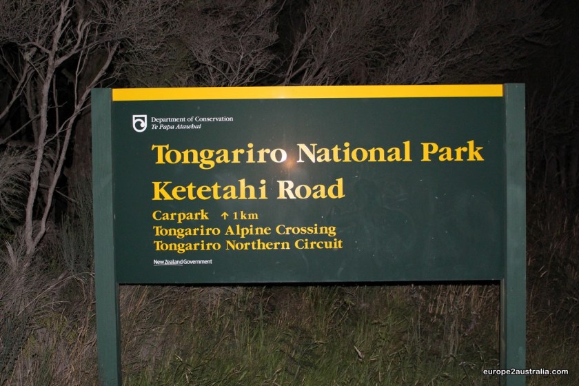
But I was also looking to do some hiking in this largely empty country. Some research on the internet revealed that, apparently, the Tongariro Alpine Crossing falls into the above mentioned category. It’s a day hike between two of the highest volcanoes on the North Island and is quite famous for Kiwi’s and tourists alike.
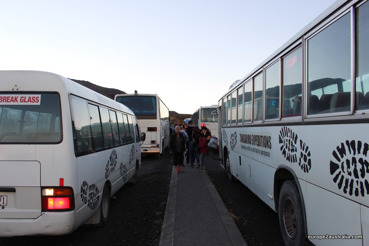
So I booked a hotel in the area for the night and prepared for a day of mountain hiking.As the walk is a one-way trip, I had booked a transfer from the end point parking lot to the start on the other side of the mountain. And, since I wanted to beat the crowds, I decided to take the early bird option at 6:30am. So I set my alarm for 5:15am to allow time for some breakfast, dressing in 5 layers of clothing (a very wise choice, as it turned out) and packing up my stuff. By 6:15am I had arrived at the parking lot.
Which was already full, meaning I had to join the growing number of cars parked on the side of the access road.

Once the bus was full, we left for the starting point. The weather was overcast and misty, so we were very pleasently surprised when, after gaining some height, we broke through the cloud cover and saw “our” mountains against clear, blue skies.

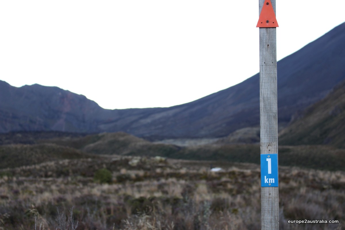
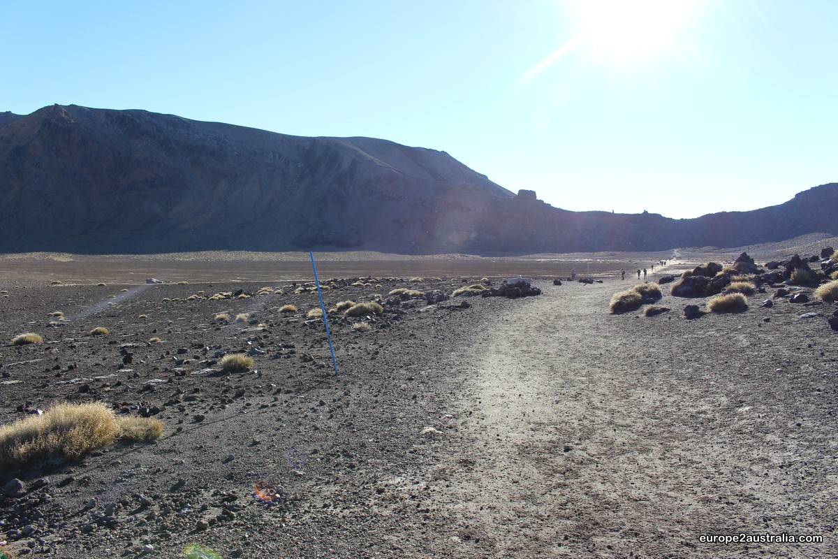
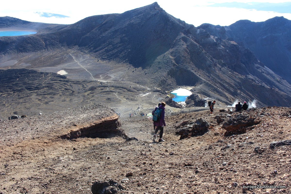
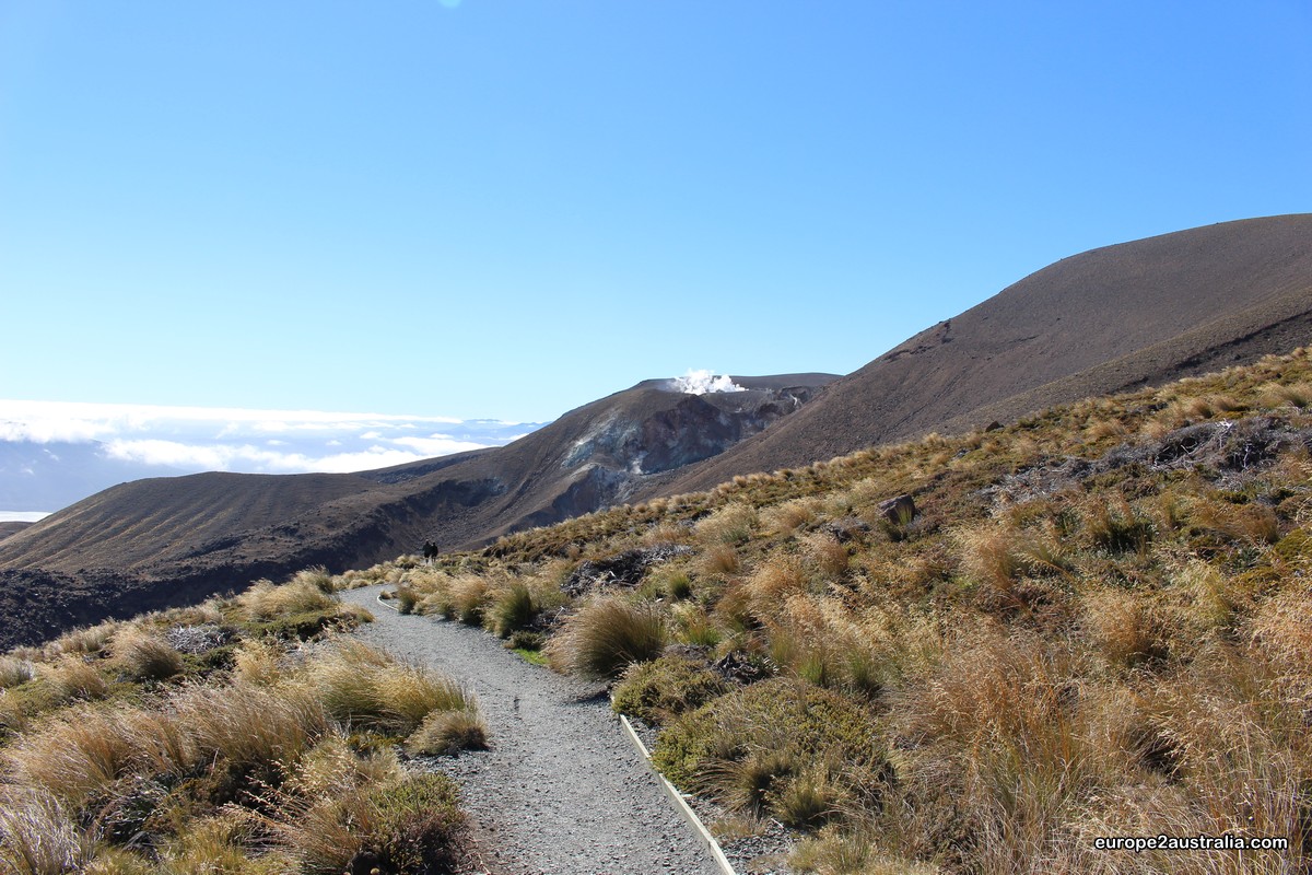
With the sun just starting to rise, we set out for the 19.4km long hike that would take us from Pukeonake parking area at 1150m above sea level, in bewteen the Togariro and Ngauruhoe mountains, accross the Red Crater and the highest point at 1886m above sea level, along the Emerald and Blue Lake(s) to the finishing point at 750m above sea level.


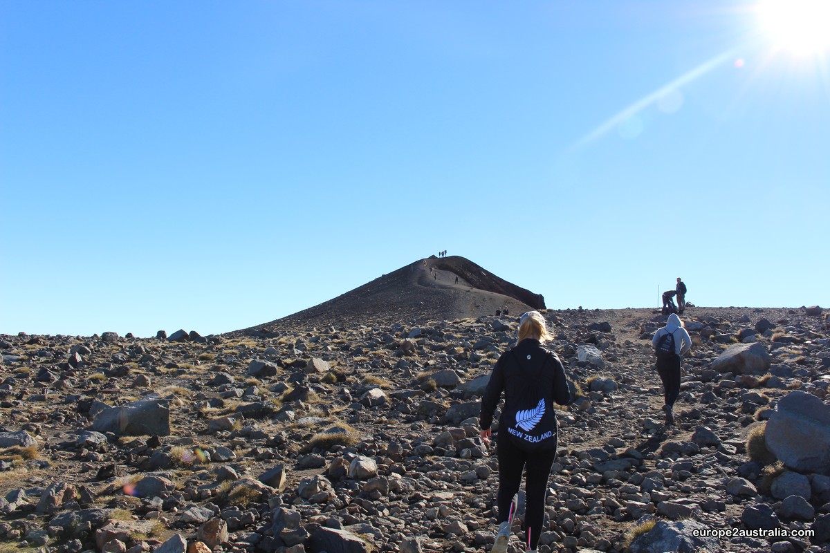
Coming out of the Red Crater, the wind noticeably picked up. Where I had been wearing my t-shirt only down there, I was glad I had my fleece and wind-jacket to put back on.
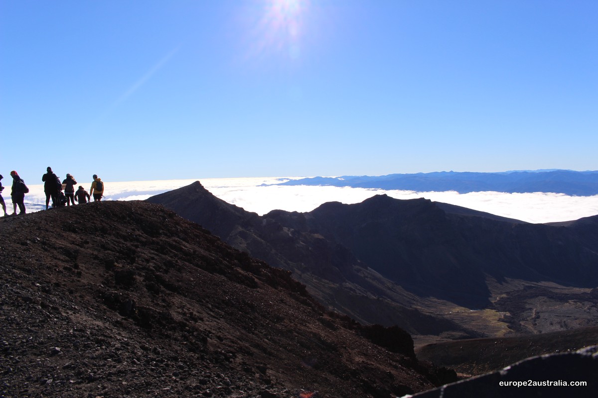
However, the view wasn’t the only think taking my breath away. The wind was coming from the side at considerable speeds, making me feel as if I would be blown off the mountain at any second now. And with hundreds of meters of free-fall options on either side, I did not dwell up here for very long.
I have to admit, I was slightly scared.


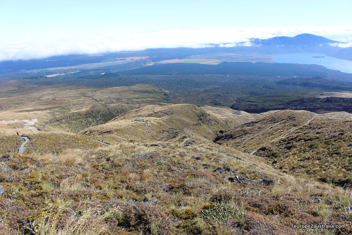


From there it was still about 3km to the car.
I finished the hike in 5 hours, just before noon, which is a bit quicker than the official 6 to 7 hour estimate.
Was it worth it? Yes! Would I do it again? Absolutely. While the second half of the crossing is pretty long and sometimes a bit boring, the exciting and stunning first half more than makes up for it. I had a blast!
But I would add a word of caution at the end: this is not a hike undertaken lightly. Bring lots of water and food, and make sure you have proper shoes and are dressed in layers. It was not a hot day and I drank 2 litres of water. I was wearing anywhere from 5 to 1 layers of clothing, sometimes switching back and forth. And I was definately happy that I had proper hiking boots on the rocky and sometimes slippery pathways. So make sure you come prepared to be able to enjoy this adventure as much as I have.

Gave hike en prachtige foto’s weer! Genieten op afstand 👍😁
Groetjes, Susan
LikeLike
Bijzonder om zulke tochten te maken en apart om te zien dat er meer mensen zijn die de tocht vroeg begonnen. Had je het idee dat dit voornamelijk toeristen waren?
Hoe lang denk je nog in Nieuw-Zeeland te zijn? En wat heeft jouw voorkeur 🇦🇺 (AUS) of 🇳🇿 (NZ)?
Veel plezier nog ..
LikeLike
Hoi Karin,
Er waren veel toeristen, maar er zijn ook veel New Zealanders die deze tocht doen. Sommige collega’s hier zijn er al meerdere keren geweest.
Ik heb nog een kleine 48 uur hier voordat ik weer terug ga naar Australië.
En ik heb niet echt een voorkeur voor een land. Maar Willemijn en de kids zijn in Australië, dus daar is het beter. 🙂
Groetjes
Oliver
LikeLike